Geography – Distinguishing Factors
Bosnia is located in the western Balkans, bordering Croatia (932 km or 579 mi) to the north and west, Serbia (302 km or 188 mi) to the east, and Montenegro (225 km or 140 mi) to the southeast. It has a coastline about 20 kilometers (12 miles) long surrounding the city of Neum. It lies between latitudes 42° and 46° N, and longitudes 15° and 20° E.
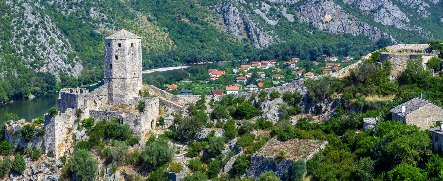
The country’s name comes from the two regions Bosnia and Herzegovina, which have a very vaguely defined border between them. Bosnia occupies the northern areas which are roughly four-fifths of the entire country, while Herzegovina occupies the rest in the southern part of the country. The country is mostly mountainous, encompassing the central Dinaric Alps. The northeastern parts reach into the Pannonian Plain, while in the south it borders the Adriatic. The Dinaric Alps generally run in a southeast-northwest direction, and get higher towards the south. The highest point of the country is the peak of Maglić at 2,386 meters (7,828.1 feet), on the Montenegrin border. Major mountains include Kozara, Grmeč, Vlašić, Čvrsnica, Prenj, Romanija, Jahorina, Bjelašnica and Treskavica.
Overall, close to 50% of Bosnia and Herzegovina is forested. Most forest areas are in the centre, east and west parts of Bosnia. Herzegovina has drier Mediterranean climate, with dominant karst topography. Northern Bosnia (Posavina) contains very fertile agricultural land along the River Sava and the corresponding area is heavily farmed. This farmland is a part of the Pannonian Plain stretching into neighboring Croatia and Serbia. The country has only 20 kilometers (12 miles) of coastline, around the town of Neum in the Herzegovina-Neretva Canton. Although the city is surrounded by Croatian peninsulas, by international law, Bosnia and Herzegovina has a right of passage to the outer sea.
Sarajevo is the capital and largest city. Other major cities are Banja Luka in the northwest region known as Bosanska Krajina, Bijeljina and Tuzla in the northeast, Zenica and Doboj in the central part of Bosnia and Mostar, the largest city in Herzegovina.
There are seven major rivers in Bosnia and Herzegovina
The Sava is the largest river of the country, and forms its northern natural border with Croatia. It drains 76% of the country’s territory into the Danube and then the Black Sea. Bosnia and Herzegovina is therefore also a member of the International Commission for the Protection of the Danube River (ICPDR). The Una, Sana and Vrbas are right tributaries of Sava river. They are located in the northwestern region of Bosanska Krajina. The Bosna river gave its name to the country, and is the longest river fully contained within it. It stretches through central Bosnia, from its source near Sarajevo to Sava in the north. The Drina flows through the eastern part of Bosnia, and for the most part it forms a natural border with Serbia. The Neretva is the major river of Herzegovina and the only major river that flows south, into the Adriatic Sea.
Phytogeographically, Bosnia and Herzegovina belongs to the Boreal Kingdom and is shared between the Illyrian province of the Circumboreal Region and Adriatic province of the Mediterranean Region. According to the World Wide Fund for Nature, the territory of Bosnia and Herzegovina can be subdivided into three ecoregions: the Pannonian mixed forests, Dinaric Mountains mixed forests and Illyrian deciduous forests.
General Information
| Official Languages Bosnia, Croatian and Serbian Capital City Sarajevo Country Population 4,345,911 Area 52,280, sq. km | Highest Point Maglic -2,386m Coastal Line 21.2 km Time Zone UTC +1 (Winter) – UTC +2 (Summer) Telephone Code +387 |